

Key Takeaways
- The Southwest spans at least four distinct geographic regions, each with its own climate and character.
- Heat and remote distances require more vehicle preparation than most domestic road trips.
- Lodging ranges from full-service gateway towns to primitive campgrounds just miles apart.
- Cell coverage and water availability drop sharply once you leave major corridors.
- Visiting in spring or fall typically means milder temperatures and smaller crowds at major parks.
Why the Southwest Rewards a Road Trip
No other region of the United States concentrates this much geological drama, cultural depth, and sheer scale into one drivable landscape. Within a single week on the road you can stand on the rim of the Grand Canyon, walk through a 700-year-old Ancestral Puebloan cliff dwelling, cross a salt flat that looks like another planet, and eat green chile stew in a New Mexico plaza. The distances are real — sometimes 150 miles separate gas stations — but that's precisely what makes the Southwest a driver's trip rather than a fly-and-bus-it destination.
Before you leave home, build a solid logistical foundation. The first-timer's trip planning roadmap walks you through destination sequencing and reservation timing, both of which matter enormously in a region where national park campgrounds book months out.
11
National parks in the Four Corners region
The Colorado Plateau alone contains some of the highest concentration of national parks in the US, according to the National Park Service.
134°F
Highest reliably recorded air temperature, Death Valley
Recorded in 1913, Death Valley's extreme heat underscores why summer timing matters critically in the Mojave Desert.
6–8 months
Lead time for popular park campgrounds
Campgrounds at Zion, Grand Canyon, and Arches frequently book out within hours of their reservation windows opening on Recreation.gov.
The Colorado Plateau: Red Rock Country
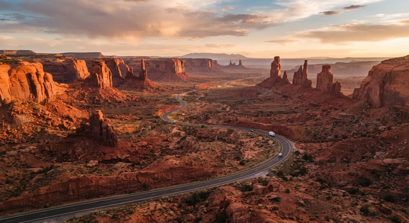
Stretching across southern Utah, northern Arizona, western Colorado, and northwestern New Mexico, the Colorado Plateau is the heart of classic Southwest imagery. Elevations typically run between 5,000 and 7,000 feet, which keeps summer temperatures more bearable than the low desert — though afternoon thunderstorms are common from July through September, a pattern locals call the monsoon season.
Key anchor points include Moab (Utah), the gateway to Arches and Canyonlands National Parks; Flagstaff (Arizona), a university city with access to the Grand Canyon's South Rim and Monument Valley; and the Four Corners region, where you can stand in four states simultaneously. The plateau's canyon roads demand patience — switchbacks, sharp drop-offs, and RV-unfriendly pullouts are common. Check road conditions through state transportation departments before each driving day.
When driving plateau canyon roads, pull completely off the road at designated pullouts — don't stop on the road shoulder to take photos, even briefly. Sightlines are short and traffic moves faster than it appears.
Narrow canyon roads with blind corners see a disproportionate share of close calls involving stopped vehicles; park rangers consistently flag this as a leading visitor safety issue.
Keep a paper map of each state you'll cross — not just a phone screenshot. Printed state highway maps are free at welcome centers and cover rural roads GPS apps sometimes omit entirely.
Cell and GPS coverage fails frequently across the plateau and desert basin areas; paper maps are a reliable fallback that experienced Southwest travelers treat as non-optional gear.
Culturally, this region overlaps with the Navajo Nation and several Pueblo communities. Many sites on tribal lands require separate permits or guided access — verify current entry requirements directly with each Nation's tourism office, as policies change and outside sources are often outdated.
The Sonoran Desert: Saguaro and Sun
Drop south and west from the plateau and temperatures climb fast. The Sonoran Desert covers southern Arizona and extends into northwestern Mexico, and it supports surprising biodiversity — the iconic saguaro cactus exists naturally only here. Tucson is the cultural hub, home to a rich Spanish colonial and Indigenous heritage, while Phoenix functions as a major logistics base with full airport, medical, and supply infrastructure.
Summer heat in the Sonoran can be extreme, with daytime temperatures regularly exceeding 110°F in lower elevations. Hiking before 8 a.m. and after 5 p.m. is a widely recommended safety practice during summer months; the National Park Service issues heat advisories that are worth checking. Spring (February through April) is widely regarded as the prime season for this zone — wildflowers bloom, temperatures stay comfortable, and the desert's extraordinary palette comes alive.
Summer Heat in the Low Desert Is a Serious Risk
Temperatures above 110°F can cause heat exhaustion or heatstroke within an hour of strenuous outdoor activity. The National Park Service advises against hiking exposed trails between 10 a.m. and 4 p.m. during summer months. Always carry more water than you think you need, and tell someone your planned route and return time before venturing into remote areas.
The Mojave and Great Basin: Wide Open Space
Nevada, the eastern California desert, and portions of western Utah fall within the Mojave and the larger Great Basin. Joshua Tree National Park, Death Valley, and Nevada's Great Basin National Park anchor this zone. Death Valley holds the record for the highest reliably recorded air temperature on Earth, so summer visits require exceptional preparation and are generally discouraged for most travelers.
The Mojave is also where the Southwest's human geography gets interesting: Las Vegas sits at its edge, offering every comfort and amenity, while just a two-hour drive away you can camp in near-total solitude. Route 66, which bisects the Mojave on its way from Kingman to Needles, remains one of the most atmospheric desert drives in the country.
The complete end-to-end trip planning guide covers how to build contingency days into your itinerary — essential in a region where wildfires, flash floods, or road closures can reroute even the best-laid plans.
Lodging Landscape: Where to Sleep Out Here
Southwest lodging exists on a wide spectrum. Gateway towns — Moab, Sedona, Flagstaff, Kanab, Springdale — offer motels, boutique hotels, and vacation rentals clustered near park entrances. These fill quickly from March through October, and some require reservations months in advance for weekends. Booking well ahead is the single most effective way to avoid scrambling.
Campgrounds inside national parks often have a reservation window (typically six months out) through Recreation.gov — check the specific park's page for exact rules. National Forest and BLM (Bureau of Land Management) dispersed camping provides free or low-cost options across enormous swaths of land, though facilities are minimal; know how to pack out all waste and follow Leave No Trace principles.
Book Gateway Town Stays Early
Sedona, Moab, and Springdale are small towns with limited room inventory. If your dates are fixed, secure accommodation three to six months out for spring and fall travel. Last-minute options exist but often mean driving 30–60 miles to the nearest alternate town, adding time and fuel costs.
Unique stays worth knowing about: historic Route 66 motor lodges in Winslow and Williams (Arizona), working guest ranches near Tucson, and houseboat rentals on Lake Powell. Each adds regional character without requiring luxury budgets.
Planning and Safety Essentials
Two logistics dominate Southwest road trip planning: vehicle readiness and water. Desert heat is genuinely hard on engines, coolant systems, and tires. Run through the driver safety checklist and the mechanical walk-around guide before departing — both are structured to catch the issues most likely to strand travelers in remote terrain.
Carry more water than you think you need — a widely cited guideline from desert safety organizations suggests at least one gallon per person per day for hiking, with extra in the vehicle. Cell service is intermittent to nonexistent across large stretches of the plateau and desert; download offline maps before leaving population centers. A personal locator beacon (PLB) or satellite communicator is worth considering for anyone planning backcountry day hikes.
Budget travelers should also review the pre-trip financial checklist — park entrance fees, fuel costs on long rural segments, and accommodation in gateway towns can add up faster than expected.
This article provides general travel orientation and is not a substitute for current official guidance from national parks, tribal nations, state transportation departments, or emergency services. Verify entry requirements, road conditions, and safety advisories through official sources before and during your trip.